
Finding Webster Groves Residents
A Webster Groves residents directory search starts by sorting the record question. An address-and-time question follows a parcel, recorded deed, city permit, and directory trail. A voter-status question goes to Missouri's individual lookup or a lawful election-file request. A court question belongs in Case.net or the clerk's office. A family-history question often starts at the library rather than a current portal. Webster Groves is in St. Louis County and is not part of the City of St. Louis for county-record purposes. A similar result from the wrong St. Louis jurisdiction needs extra care.
Names also carry roles. A grantee can be an owner, while a permit contact can be a contractor or designer. A mailing address can be for tax notices, not a home. Keep the source date with every name and avoid turning an index line into a claim about where someone lives now.
- Standardize the street address, then test the parcel in the county assessment search.
- Save the locator, source date, returned owner or entity, and any deed reference.
- Use the Recorder index for the instrument and compare its legal description with the parcel.
- For an earlier household, check a directory year, reverse street entry, permit, tax record, or newspaper.
- Request a bounded city or county record when the online index stops short.
Note: Save the exact search spelling because an old suffix, postal label, or municipal description can alter the result.
Webster Groves Resident Record Offices
The City Clerk routes municipal material such as agendas, licenses, elections, and public-record requests. Planning and Development holds city project and inspection material. County offices handle assessment, deeds, circuit matters, probate, and elections. The records are complementary. A city permit may name a project contact, while a St. Louis County parcel card supplies the locator that ties the address to assessment and deed references. Name the department and a narrow date range when asking for a record.
St. Louis County Assessor
County property records
St. Louis County, MO
IAS property portal
For a street-by-street address chain, the Webster Groves street directory keeps parcel and map work together.
Using Webster Groves Parcel Cards
The St. Louis County Assessor IAS search is the first stop for a modern property address. It offers Locator Number, Name, Property Address, and Subdivision Name modes. The address mode separates street text, direction, and suffix. A locator has a two-digit prefix, an alphabetic third character, and one to six later digits. The card can show a tax year, owner line, mailing or taxing address, subdivision, lot or block, land-use code, deed reference, school district, and council district.
Those fields establish administrative parcel identity. They do not establish present occupancy or settle a title dispute. The city's sample parcel overview warns that its brief legal description is not a legal document. A name result can return several parcels, so compare its address and mailing relationship before using it as a lead.
| IAS mode | Input shown | Use |
|---|---|---|
| Locator Number | At least four characters; third character is a letter | Direct parcel-card bridge |
| Name | First and last name fields | Candidate parcels to compare |
| Property Address | Street plus direction and suffix controls | Address-to-locator route |
| Subdivision Name | Subdivision text | Alternative address route |
- Parcel
- A unit of land in the county assessment system.
- Locator
- The county identifier connecting a card to related records.
- Index
- A finding list, not necessarily a document image.
- Criss-cross directory
- A reverse directory arranged by street and number.
Note: An all-numeric value can fail in IAS because the third locator character must be alphabetic.
Webster Groves Deed Name Trails
When IAS returns a deed document number or Recorder book and page, move to the Recorder deed-search route. An index row can show grantor, grantee, recording date, document number, affected book and page, total pages, locator or lien number, instrument type, and legal description. A grantor conveys or releases an interest. A grantee receives or is named in the instrument. A deed of trust or a lien release can record financing without documenting a sale.
Use document number or Recorder book and page if an address search fails. Online coverage and image availability were not fully documented in the research. The fallback is the counter, a remote route if available, or a mailed request. The deed-copy form accepts an address, owner, approximate date, type, or book and page. It distinguishes Recorder book/page from assessor book/page.
Recorded ownership should be compared with dated permits and directories. Ownership and occupancy are separate labels.
Current Webster Groves Resident Sources
No official citywide list identifies every Webster Groves household. Current directory-like sources each answer a narrow question. The county property card follows a parcel and its owner line. Missouri's voter system is for an individual registration check, while county election files carry statutory restrictions. The Recorder names parties to instruments, not every resident. Treat each as a dated record rather than a master list.
| Source | What it can confirm | Custodian | Access |
|---|---|---|---|
| IAS property card | Parcel, owner line, assessment details | St. Louis County | Online search |
| Recorder index | Instrument parties and recording data | Recorder of Deeds | Index, copies, counter, mail |
| Voter status | An individual's registration status | Missouri / Board of Elections | Required-input lookup or request |
| City permits and archive | Project, review, or city action | Webster Groves | Portal, archive, or request |
| Unclaimed property | State-held name and city lead | Missouri Treasurer | Free state search |
A name needing independent confirmation belongs in the Webster Groves resident lookup sequence, where roles and protected information stay in view.
Webster Groves Voter Access Limits
The Missouri Voter Outreach lookup asks for first name as registered, last name, date of birth, last four Social Security digits, and county. That design makes it a personal status check, not a public name-and-address directory. For St. Louis County files, use the Board of Elections request route with its lawful-use rules and current conditions.
RSMo 115.157 describes certain public voter data and protects qualifying residential addresses. Safe at Home, protected court material, vital records, juvenile information, victims, and witnesses all set limits on what can be retrieved or repeated. A missing name can reflect a protected or non-indexed result. It is not proof that a person has no connection to Webster Groves.
Lawful personal research. Use records for a narrow personal, family-history, civic, or property question. Do not use them to stalk, harass, threaten, or identify a protected person.
Webster Groves Court and Vital Paths
A known municipal matter belongs with Webster Groves Municipal Court or Missouri Case.net. Case.net has documented tabs for litigant name, filing date, case number, and scheduled hearings or trials. Protected parties, victims, witnesses, and children may not appear by name. St. Louis County circuit and probate files can require a clerk copy request, and an older probate matter should not be treated as absent merely because it is not on Case.net.
Birth, death, marriage, and divorce records use a different path. The Missouri Vital Records repository applies direct-and-tangible-interest rules under 19 CSR 10-10. St. Louis County's vital-record office has its own application and coverage instructions. A genealogical index can provide a reference, but it does not erase certificate eligibility rules.
These sources can resolve a narrow record question. They are not general resident rolls.
Historical Webster Groves Resident Directories
Older Webster Groves households are traced through collections rather than current portals. The Webster Groves Public Library homes guide points to Hodgdon's 1907 and 1908–1909 volumes, city and county directories, permits, tax microfilm, maps, newspapers, yearbooks, and local-history databases. St. Louis County directory holdings described by SLCL span about 1893–1979 in print, microfilm, microfiche, and digital sources.
A regular directory normally begins with a surname. A reverse or criss-cross volume begins with the street and number. Neither proves a current residence. It provides a dated editorial association that should be checked against a parcel, permit, deed, or newspaper. The Webster Groves city directory collections give the year-by-year shelf and reading method.
Webster Groves Library Record Shelf
WGPL is the practical fallback when a web search cannot reach an earlier decade. Its permit material is digitized from microfilm for 1908–1996, with the searchable index currently updated through 1940. City real-estate tax microfilm covers 1896–1947. The library also lists 1903, 1917, and 1924 Sanborn maps, local newspapers, yearbooks, and access to HeritageQuest, in-library Ancestry, and FamilySearch routes.
The Historical Society adds the Kate Moody collection, more than 10,000 documents from the 1880s through 1950. Search by address, former owner, surname, street, or neighborhood, then keep its date and provenance with the result. It can add context but cannot substitute for a deed or survey.
Note: Browsing nearby directory pages can succeed when OCR misses initials, punctuation, or a street number.
Webster Groves Address Geography
Postal and legal geography do not always match. Most of Webster Groves is associated with 63119, yet a mailing city or ZIP does not prove a parcel lies in the incorporated city. Use USPS to standardize the address, then check the City Map Center, county GIS resources, and IAS municipality or parcel fields. Older records may say Webster, St. Louis County, a township, or another municipal label.
The 1876 separation of St. Louis City and County and the city's 1896 incorporation explain some variations. Historic district layers add context: Central Webster, Marshall Place, Old Webster, Webster Park, and Webster College-Eden Seminary may affect where a map, permit packet, or preservation record is found. They are location clues, not title boundaries. A modern parcel card cannot replace a 1909 plat or a reverse directory.
Webster Groves Records Going Digital
The city's 2025/26 records-digitization bid identifies physical property-maintenance street files, building permits, plans, inspections, Planning Commission, ARB, Board of Adjustment, Historic Preservation Commission, and legacy zoning material for preservation work. It signals a possible improvement in address-history access, not a promise that every item is already searchable or public.
The city expanded a separate online workflow for eligible occupancy and MEP permits in 2025, while plan-review work can still use other channels. Recent projects may begin digitally while earlier files remain in microfilm or paper. Ask the custodian for the address, record type, and date range instead of assuming one portal holds all years.
Note: A narrow request under Missouri Sunshine Law §§610.023 and 610.026 can ask for open portions, a fee estimate, and a legal basis for withholding.
Webster Groves Resident Search Boundaries
A citywide official residents directory was not located in the research. The safe result is a transparent chain of sources, dates, and access limits. County GIS identify controls and complete Recorder online coverage were also not fully text-verified. When an interface cannot answer a question, use the city map resources, county assessor, Recorder copy route, library collections, or the correct custodian rather than guessing.
Report uncertainty as an index-only lead or possible match. Preserve the source wording. A current owner line, a directory entry, and a postal address can each be true without describing the same person or date.
Webster Groves Permit Record Changes
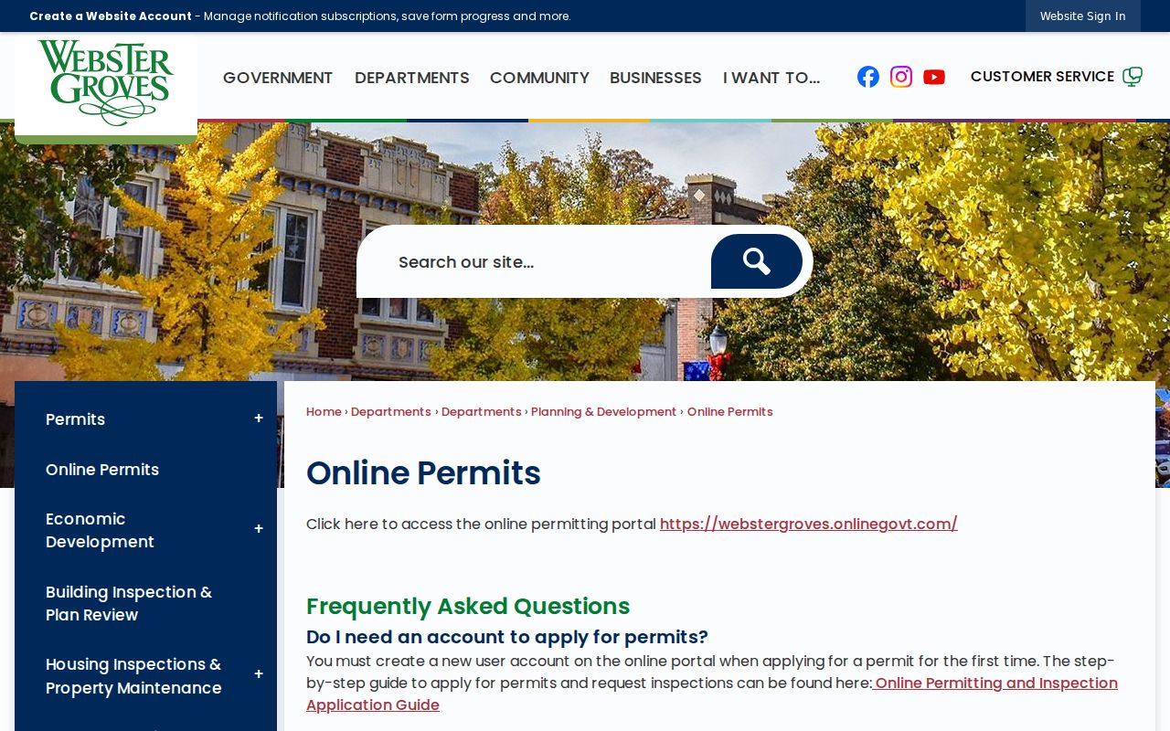
City permit files offer an address-based record that is different from a deed or a tax card. Planning and Development handles planning, building inspection, plan review, and property-maintenance functions. The city’s online route accepts eligible occupancy and MEP permits after an account is created and the applicant uploads contact information plus a signed contract, invoice, or scope. The stated response window is three to five working days. Plan-review permits, floodplain cases, and some homeowner or contractor cases use another process or City Hall instead.
The Webster Groves Online Permits page documents that newer access path and its limits.
For a historic residents-directory question, permit material should be read as project evidence. It can name an applicant, owner, contractor, or designer, but none of those roles alone proves who occupied the address. WGPL reports building permits digitized from microfilm for 1908 through 1996, with a searchable index currently updated through 1940. The city’s 2025/26 digitization initiative may expand access to physical files, but it does not establish that every permit is online today.
Webster Groves Archive Address Clues
The Webster Groves City Archive is not a name directory, but it can add a dated city-record layer to an address trail. Its search controls include an archive-category selector, a keyword field, date or time-period fields, and a search button. Available categories include Architectural Review Board, Board of Adjustment, City Council agendas and minutes, Historic Preservation Commission, Library Board, Plan Commission, public hearings, traffic, business districts, and arts material. Search the exact street, an old spelling, a project term, an owner or entity name, and a date range when known.
A result is a document record or link, not proof that a named person lived at the property. Use it to locate a hearing packet, preservation decision, plan-review item, or council action, then compare the document date and role with a parcel card, deed, permit, or directory entry. The archive has no complete published retention statement in the research. If an expected item does not appear, ask the City Clerk or department custodian for the category, street address, and period rather than assuming the record was never created.
This city route also helps separate municipal evidence from county evidence. The City Archive may explain why an address appears in a historic-district or planning record, while the Recorder provides the legal instrument and IAS identifies the present assessment parcel. Keeping those sources distinct produces a clearer Webster Groves resident-record trail.