
Webster Groves Previous Residents by Era
An address timeline works best when the source matches the period. Begin with the current county parcel card and its deed reference, then move backward through recorded instruments. For the decades before a web parcel display, Webster Groves has a strong local trail in tax microfilm, permit records, directories, maps, newspapers, and archive material. Each source has a different relationship to the address. The table separates those layers so a person named as an owner is not confused with a historical household reference.
| Source | Years it covers | Where held | What it shows |
|---|---|---|---|
| IAS parcel card | Current assessment and tax display | St. Louis County Assessor | Locator, owner line, subdivision, parcel facts, and latest deed reference. |
| Recorded deeds and plats | Varies by document and access layer | St. Louis County Recorder of Deeds | Transfers, named parties, dates, document or book/page, type, and legal description. |
| Real-estate tax microfilm | 1896 to 1947 | Webster Groves Public Library | Parcel and owner connections before the current IAS display. |
| Building permits | 1908 to 1996; searchable index through 1940 | WGPL and city custodians | Project date, address, project role, work, and related file lead. |
| County and local directories | County run about 1893 to 1979; year-specific volumes vary | SLCL, WGPL, and digital collections | Dated address and household association, including reverse street listings. |
| Maps and local archives | Depends on collection | WGPL and Historical Society resources | Lots, streets, footprints, photographs, and local context. |
Previous residents are not recoverable for every year. A gap can mean an unscanned index, a changed address, an archive-only item, or a record that is closed. Start with the source nearest the date in question and move outward only after its address, lot, or name is anchored.
Separate Owners from Webster Groves Households
A dependable house history uses two columns. One is for the legal owner or grantee named on a parcel card or recorded instrument. The other is for the person named as an occupant or household in a directory, newspaper, yearbook, or similar dated source. The two may match, but they often do not. A trust, estate, or business can take title while a family appears in a reverse listing. A permit can name an applicant, contractor, architect, or owner without identifying a household.
Write the exact role that the record assigns. A deed party may be a grantor, grantee, trustee, officer, beneficiary, attorney, or witness. A permit name may be a project contact. This discipline avoids a common error in previous-residents research: turning a dated record role into a statement that someone lived at the address. It also makes it possible to reconcile a directory entry with the relevant transfer instead of forcing them to agree.
| Timeline column | Record it holds |
|---|---|
| Owner or grantee | Recorded party, instrument type, recording date, legal description, document number, and Recorder book/page. |
| Occupant or household | Directory year, street spelling, number, household notation, repository, page or image, and corroborating source. |
| Property event | Permit, tax, map, archive, or newspaper date with the source's stated project or address relationship. |
Note: Keep the source date beside every name because a directory publication, a recording date, and an inspection date can fall in different months or years.
Start Webster Groves Previous Residents at IAS
Use the St. Louis County Assessor IAS search to anchor the modern address before going backward. Search by Locator Number when it is known, or use Name, Property Address, or Subdivision Name. The locator uses two digits, an alphabetic third character, and one to six later digits. On the returned card, save the tax year, owner line, taxing or mailing address, subdivision, lot or block, land-use code, short legal description, and latest deed document/type/book/page.
The card is current administrative evidence, not a complete ownership history and not proof of occupancy. Its short legal description is a bridge to the deed trail, not a legal instrument. If the street has changed spelling, direction, suffix, municipal label, or number, preserve both the standardized address and the historic form. This is especially important around the 1876 City and County separation and the 1896 incorporation of Webster Groves, when the likely custodian and label may change.
Trace a St. Louis County Deed Chain
The Recorder chain is the formal backward route from a present parcel to earlier transfers. Use the current deed document or Recorder book/page from IAS, then search the St. Louis County Recorder of Deeds by document number, book/page, grantor, grantee, address, or locator where the route supports it. Record every row's grantor, grantee, recording date, execution date if shown, instrument type, document number, affected book/page, page count, locator or lien number, and legal description.
- Start with the latest deed reference on the IAS card and save the parcel's locator and legal-description clues.
- Find the instrument and identify the grantee who received the interest and the grantor who conveyed or released it.
- Search the seller from that transfer as a prior grantee, then compare the next record's legal description, lot, or locator to the target parcel.
- Repeat backward, keeping transfers apart from deeds of trust, releases, liens, and other documents that may not be sales.
- When the web route stops, use the Recorder counter, official copy form, mail route, library holdings, or the appropriate archive rather than guessing an online cutoff.
- Grantor
- The party who conveys, releases, or otherwise gives an interest in a recorded instrument.
- Grantee
- The party who receives or is named as receiving an interest in the instrument.
- Chain of title
- The ordered sequence of recorded transfers and related instruments connected to the same property.
- Legal description
- The lot, block, subdivision, metes, or other formal land description that can connect records when the street address changes.
The Recorder's online coverage and vendor pricing were not fully located in the research. The official deed-copy form also permits a request by address, owner, approximate date, document type, document number, or Recorder book/page. Recorder book/page and assessor book/page are different fields. For a title-grade question, use certified copies and appropriate professional advice.
Webster Groves Tax and Permit Layers
WGPL's homes resource identifies city real-estate tax microfilm for 1896 through 1947. It can connect an older owner to a lot or address before the modern IAS card exists. The same library resource identifies building permits digitized from microfilm for 1908 through 1996, with a searchable index currently updated through 1940. Log the address, date, applicant or owner role, work description, estimated value if shown, contractor, inspection or completion reference, and image or page citation.
A permit helps date physical change, not a change of title or a household. It may show an addition, porch, garage, conversion, review, or inspection and can make a directory gap easier to investigate. Search the city archive by the exact street, old spelling, owner surname, subdivision, and project type for ARB, Historic Preservation Commission, Plan Commission, Board of Adjustment, public-hearing, or council material. These sources work best as corroboration for a parcel and dated household entry.
See the Webster Groves Public Library homes guide for its permit, tax, directory, map, and local-history starting points.
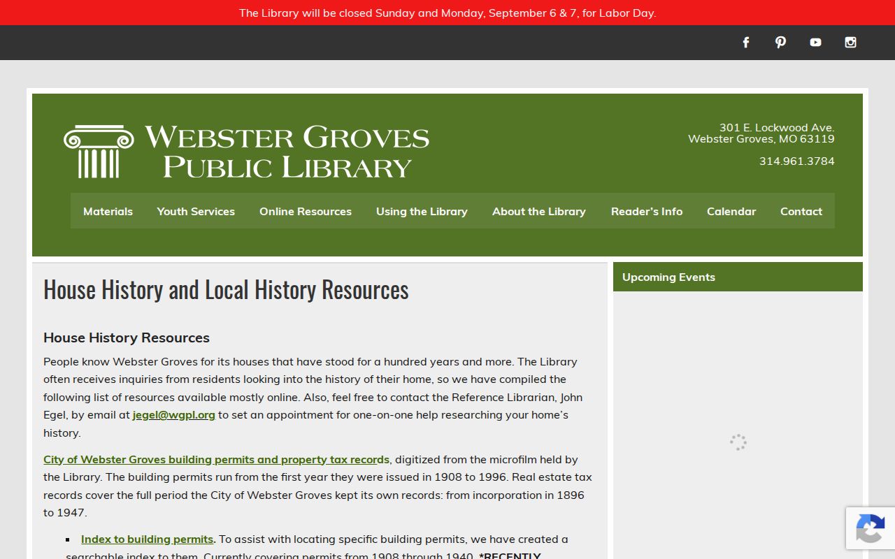
The library guide is especially useful when a prior-residents search reaches the paper and microfilm era rather than a current online parcel display.
Past Residents in Webster Groves Directories
Directories supply the household layer that deeds cannot. Search WGPL's Hodgdon volumes for 1907 and 1908 to 1909, then use St. Louis County Library's digital county directories, whose stated run is about 1893 to 1979. A regular directory usually begins with a surname; a reverse or criss-cross directory begins with street and house number. Browse the full year after a surname or partial-address search because OCR may miss an initial, abbreviation, or number.
Capture the volume title, publication year, street spelling, house number, household notation, municipality label, page or image, and any occupation or business wording that affects identity. A missed OCR result is not proof of absence. A gap between two directory years is not proof that a house stood empty. The collections themselves and their access routes are covered on the Webster Groves City Directory page.
For a census-like household sequence, place the directory year next to any applicable library database result, newspaper reference, map, or yearbook item that is actually viewed. WGPL lists remote HeritageQuest with a library card and Ancestry Library Edition on library computers or Wi-Fi. Do not invent an entry, exact individual name, or census holding from a search result that has not been seen.
- Choose a directory year on either side of the period being tested and browse both surname and reverse street paths.
- Copy the address exactly as printed, including abbreviations and the municipality label, then compare it with the parcel's historic lot or legal description.
- Use a dated permit or tax record to test whether the parcel and household timing fit together.
- Check an actually viewed newspaper, yearbook, database result, or local-history item for a same-address or same-period connection.
- Label any unresolved name as a possible match and retain the page or image reference for later review.
Webster Groves Maps Recover Addresses
When a person disappears from the name trail, maps can keep the address trail moving. WGPL lists the 1862 and 1870 Julius Hutawa atlases, 1878 Pitzman Atlas, 1893 atlas, and 1909 plat book. Its Sanborn references for 1903, 1917, and 1924 can show footprint and use. These maps can connect lots, roads, subdivisions, and building form before a modern locator existed. Cite the sheet, date, address or lot, and repository.
A map is not a deed and a walking-tour note is not a title record. Use the historic walking tours, historic-district maps, and the Historical Society as context beside a recorded legal description. The 1862, 1870, and later map layers are also useful when a pre-1896 record uses a county or township label rather than a Webster Groves municipal label.
Webster Groves Previous Residents in Context
The Kate Moody collection, owned by the Historical Society and digitized through Missouri Digital Heritage, contains more than 10,000 local documents from the 1880s through 1950. It includes photographs, newspapers, genealogical material, oral histories, correspondence, and other local items. Search by house address, prior owner, surname, street, or neighborhood, then give the item's date and provenance more weight than a caption alone.
Local newspaper runs listed by WGPL can add sale notices, building work, obituaries, social items, or address changes. Yearbooks can add time-bound community context but do not establish that a student lived at a particular address in every year. Use them to corroborate an already dated address trail, not to construct a profile of a living person.
Webster Groves Address History Changes
The city's 2025/26 records-digitization bid describes preservation of Planning and Development material, including property-maintenance street files, building permits, plans, inspection reports, and planning, ARB, Board of Adjustment, and Historic Preservation Commission documents. That work could make more address-history material easier to find. It does not establish that every file is already digitized, online, or open for release.
WGPL also describes the February through April 2026 New Webster Times student project, which followed the stories behind two homes with primary records. It is a useful model for joining permits, directories, maps, newspapers, and archives. The project covered two homes, not a complete citywide list, so it cannot fill a gap for another address without the underlying sources.
Note: A new digital interface can change access speed, but it does not change the need to verify a document's date, source, and relationship to the parcel.
Stop a Webster Groves Address Trail
End the backward chain at the oldest verified record and name the gap. Useful labels include index-only, image inspected, secondary reference, possible match, and unverified lead. Do not bridge an unscanned interval by borrowing an owner from another parcel or by declaring the earliest visible directory entry to be the first resident. The evidence may be missing, not negative.
For a pre-1896 address, broaden the search to St. Louis County, township, county tax, church, probate, land, and regional directory sources. For land before 1877, account for the City and County geography and check the State Archives or FamilySearch holdings that actually apply. Record the exact address searched, variant spelling, URL or repository, search date, locator or book/page, document date, and the next custodian.
Lawful Webster Groves House History
Previous-residents research is most useful for family history, an estate question, preservation research, or personal curiosity about a house. Public does not mean unrestricted. Protected voter addresses, Safe at Home locations, sealed records, sensitive identifiers, and private contact details must not be published or compiled into a profile. A current owner record is not a current-occupant record.
Lawful personal use. Use a Webster Groves house-history trail with care and confirm material facts with the custodian. Do not use past-address information to track, stalk, harass, threaten, or harm a living person.
When a source conflicts with another source, preserve both dates and explain the likely record difference, such as recording delay, mailing address, ownership role, address drift, or OCR error. A careful past-residents timeline says what the record supports and leaves the rest open for further verification.