
Webster Groves Neighbors by Parcel
A neighbor is a geographic relationship discovered from parcels, not a people-search result. Start by standardizing the address with the USPS address tool and locating its St. Louis County IAS parcel card. The locator identifies the target parcel before any surrounding lot is considered. The map can then reveal nearby polygons, but each address or locator needs its own IAS check. That sequence keeps an adjacent lot, an owner line, and a historic directory appearance from being mistaken for the same kind of fact.
| Source | What a block shows | Access |
|---|---|---|
| Webster Groves Map Center | City map resources, district maps, county-map links, and a starting point for parcel context | Online map entry |
| St. Louis County GIS | Parcel geometry and adjacent-polygon discovery | Dynamic map interface |
| St. Louis County Assessor IAS | Each parcel's locator, owner/entity, taxing address, subdivision, land-use code, and deed reference | Online property card |
| Recorder and survey records | Authoritative land records for boundary, easement, frontage, and legal-lot questions | Recorder search, copy route, or survey professional |
| Reverse directories and city files | Past household associations, permits, and review history by street or address | Library and city-custodian routes |
Owners and occupants must remain separate. A tax or deed result can identify an owner or entity and its taxing address. It does not tell who is currently living at the location. A block map also cannot supply a verified association membership list.
Map Webster Groves Neighbor Parcels
Use the City Map Center or county GIS to pan and zoom to the target property after the address and IAS locator agree. Parcel identify controls are part of a dynamic interface, so live layer labels and export controls were not text-verified in the source review. The useful task is still clear: build a candidate list from geography, then validate each candidate against the county card rather than relying on the drawing alone.
- Enter the exact USPS-standardized address and confirm the target's IAS locator or property address.
- Use the map to note every adjoining polygon and the street addresses shown around the target.
- Classify front, rear, side, corner, alley, and across-the-road candidates separately. A property across a road can be nearby but on a different block face or in another municipality.
- Open IAS for every candidate locator or address and record only the parcel relationship, source date, owner or entity line, and relevant parcel fields.
- Hand a full named-street question to the Webster Groves Streets path after the immediate block is stable.
The result should say that a parcel adjoins an address on a map, not that a named person lives next door. This small distinction prevents a great deal of overstatement.
Note: Retain the target locator and the map date, because GIS displays and assessment cards can change between searches.
Validate Webster Groves Neighbors in IAS
Every candidate parcel needs an IAS cross-check. The county card can display a locator, tax year, city and tax codes, owner name, taxing address, subdivision, brief legal description, lot and block information, land-use code, deed reference, school district, and county council district. Some fields may be blank. The card is an administrative parcel record, not a legal survey and not a current household list.
Compare the target and surrounding cards one at a time. A condominium can have unit or common-element boundaries that do not match an ordinary household pattern. An alley, corner lot, right-of-way, or road can make a visually close parcel non-adjoining. If the address uses a Webster Groves mailing name at an edge of the city, retain the municipality shown by the map and assessor rather than assuming the postal label controls.
For a current property chain, the assessor result leads to a Recorder instrument. A deed can verify the instrument parties and legal description, while a city permit can identify a property project. Neither source should be converted into a current-resident claim.
Webster Groves Neighbor Boundary Limits
The city states that GIS is provided as-is and is not one hundred percent accurate. It is a discovery map, not the authority for a lot line, easement, frontage, or boundary dispute. For those questions, move from the map to the St. Louis County Recorder of Deeds, a recorded plat or instrument, and a survey or other authoritative land record as needed.
The documented county GIS gap remains: exact interactive layer names, the identify button, export controls, and an adjacent-parcel screenshot were not captured in the text review. The City Map Center, official PDF district and street maps, and an IAS locator cross-check are the documented fallback. Do not turn a map generalization into a precise boundary claim.
Webster Groves also sits within a city and county history that can change how an address is labeled over time. The separation of St. Louis City and County, Webster Groves incorporation, later annexation, and changing municipal labels can make a historic address appear under another jurisdictional description. Map and district labels are useful historical context, not evidence of a present household.
Historic Webster Groves Neighbor Records
After the current parcel list is stable, add a dated historical layer. The St. Louis County directory collection supports reverse-directory work by street and house number. The Webster Groves Public Library homes resources bring together permit, tax, directory, map, newspaper, and local-history routes. City material can be searched by address or street in permits and in archive categories such as Architectural Review Board, Historic Preservation Commission, Plan Commission, and public hearings.
Historic map districts can give a block a more accurate local name than a broad postal label. Central Webster, Marshall Place, Old Webster, Webster Park, and Webster College-Eden Seminary are district references that can be checked against city maps. A walking-tour note or directory line can explain how a block was described in a particular era, but it does not establish title or a living person's current address.
Current parcel cards and older paper or microfilm sources answer different questions. A map and owner line describe the present administrative parcel. A reverse directory, permit, or historic archive record can show that someone appeared at an address at a stated time. Keep both clocks visible instead of treating one record as a replacement for the other.
North Webster Neighbor Civic Context
The North Webster Rock Hill Neighborhood Coalition is a public civic and community-history contact, not a resident roster. Established in 1987, it describes work with city, county, and social-service partners. Its public activities include North Webster Day, Black History programs, voter registration, candidate forums, neighborhood safety, church and nonprofit partnerships, and North Webster Walk preservation work with the city and Historical Society.
| Public contact | Stated scope | Appropriate use |
|---|---|---|
| North Webster Rock Hill Neighborhood Coalition | Civic activity, public events, neighborhood history, safety, and preservation context | Learn public community themes or locate event and oral-history leads, not private member information |
The coalition's public materials can add context to a block and its historic name. They do not establish who lives within the neighborhood, who belongs to the coalition, or whether every nearby parcel is part of its area.
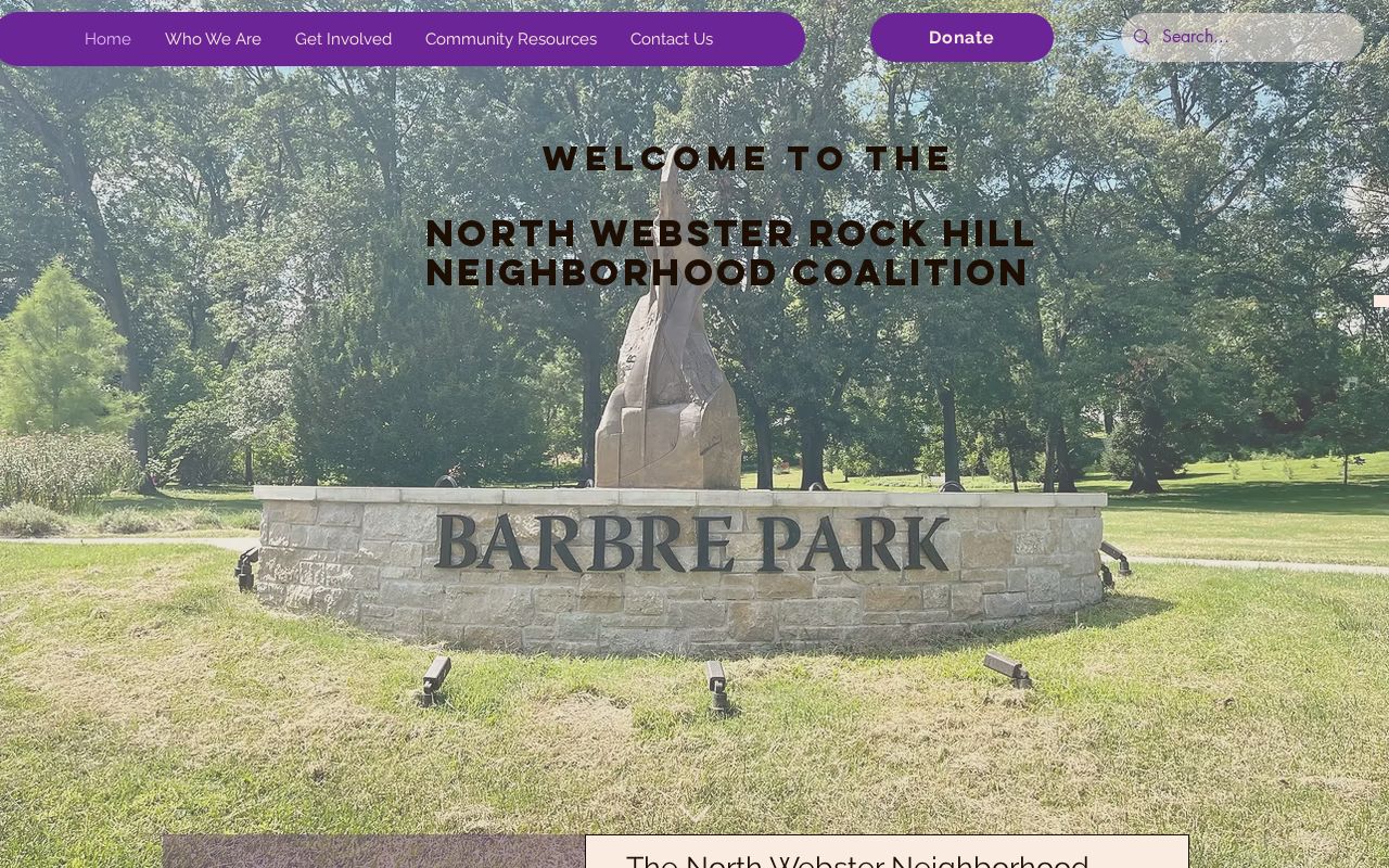
The organization supplies a public contact route for civic context, while ownership and boundary questions remain with the mapped parcel and its official custodians.
Webster Groves Neighbor Source Comparison
Official maps and parcel cards are tied to a named public custodian, a specific parcel, and a record purpose. Tools marketed for neighbor discovery can be convenient starting points, but their source date, update method, identity matching, and error-correction path may be unclear. Treat any unverified result as a lead, then return to the county map, IAS, Recorder, library, or city custodian for the fact that matters.
| Source category | Best use | Limit |
|---|---|---|
| Official maps and parcel rolls | Discover and verify parcel geography, locators, and owner or entity lines | Do not establish current occupants or legal boundaries |
| Recorder, permits, and archives | Check recorded instruments and dated property or review history | Named roles may be owner, applicant, contractor, or representative |
| Commercial neighbor tools | Possible lead requiring independent confirmation | May be stale, incomplete, or poorly matched to the parcel |
Webster Groves Neighbor Association History
City minutes have historical references to the Webster Park Neighborhood Association and the Big Bend Neighborhood Association. Those mentions are useful dated civic references, not proof that either group has a current roster, an active contact, or a boundary matching a modern parcel map. Historic organization names should stay attached to the record date that produced them.
The City Form Center lists Neighborhood Association and Subdivision Trustee Information, but a complete current association or trustee roster and field inventory were not located in the source review. Contact the city through the form route for an up-to-date public contact if one is needed. Do not infer membership from a map, directory, mailing label, or nearby address.
Note: An association's public event or historic mention describes civic context, not a verified current relationship between a private resident and the group.
Webster Groves Neighbor Lookup Limits
Missouri law and custodian rules protect more than a map can show. Safe at Home participants, protected voter addresses, sealed court and vital records, juvenile information, victim and witness details, and private identifiers must not be exposed. A property owner is not necessarily an occupant, a mail address is not necessarily the parcel address, and a historical directory entry is not evidence that a person is there now.
Use the narrowest record path for a legitimate property, local-history, civic, or personal-safety question. If a city record is needed, Missouri Sunshine Law requests should name the address, record type, and date range, then ask for segregable material if a file includes closed information.
Lawful use. Use a Webster Groves neighbor lookup for personal, lawful property or history research and public civic context. Do not use a map, record, or community source to stalk, harass, threaten, or expose another person.